Top Highest Mountains in Africa
Mount Kilimanjaro is the highest peak in Africa. But do you know the nine next-highest mountains in Africa?
1) Mount Kilimanjaro
As we said before, Mountain Kilimanjaro is the highest mountain in Africa. It has close to 35,000 visitors who attempt its summit every year. It is a dormant volcano located in the northern part of Tanzania. Kilimanjaro is near the border between Tanzania and Kenya. Kilimanjaro is also the tallest freestanding mountain in the world. Its width is about 25 miles across.
- Height: 19,341′
- Country: Tanzania
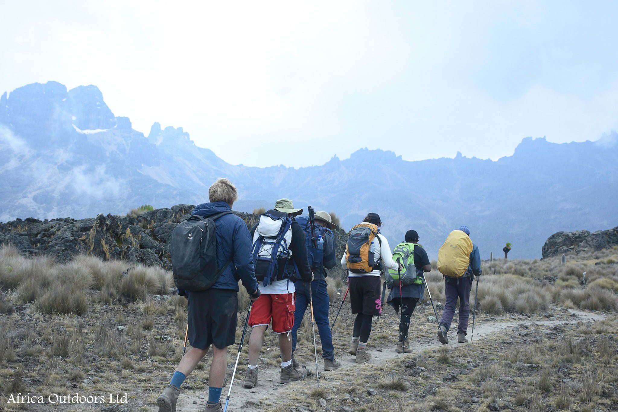
2) Mount Kenya
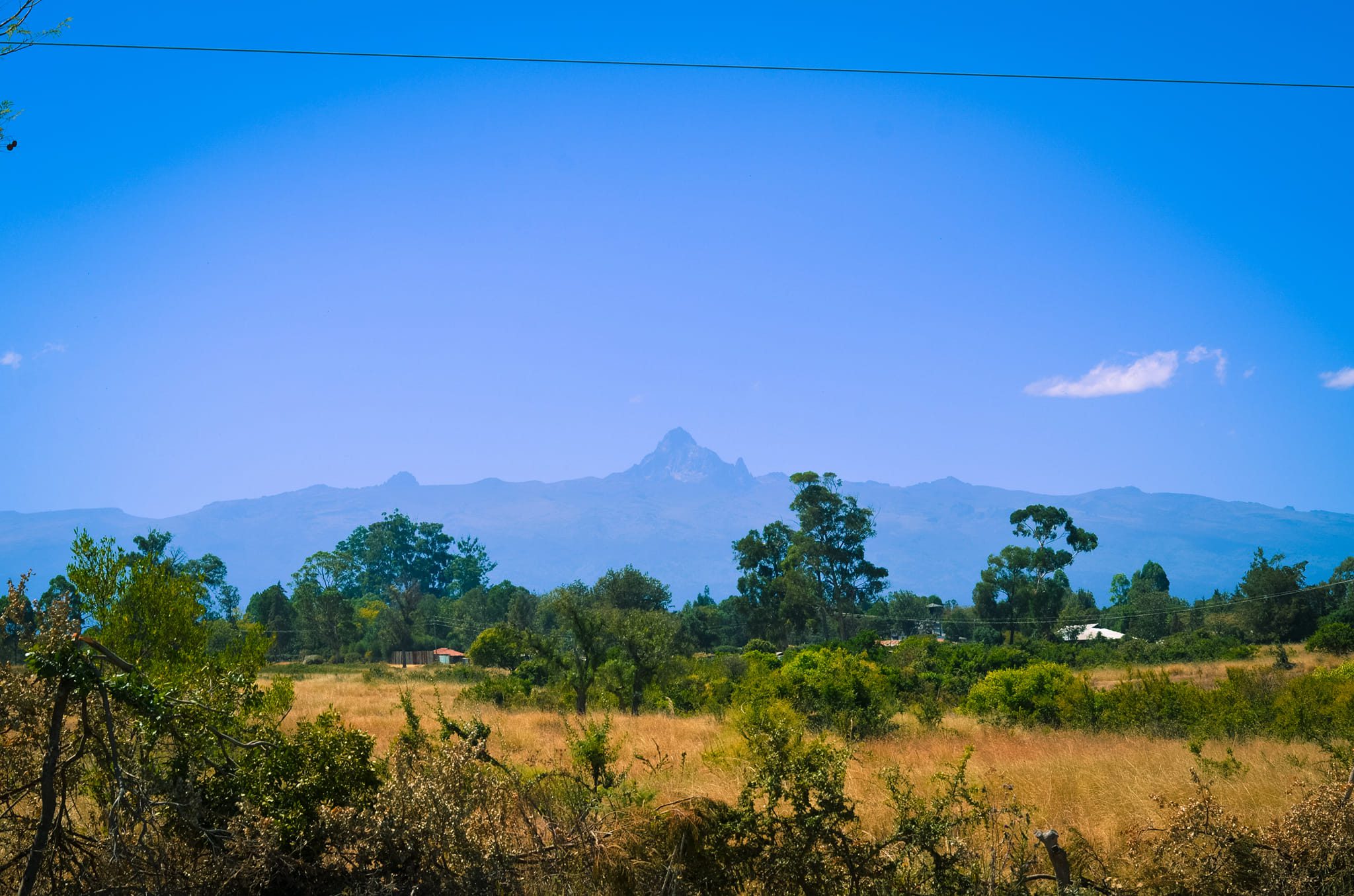
The next tallest mountain is Mount Kenya. It is an extinct volcano. It is also referred to as the “Place of Light.” Mt. Kenya is north of the equator in the central part of the country in Kenya National Park. Furthermore, the mountain has three summits, Batian, Nelion, and Lenana. Batian measures 17,057 ft. making it the second-highest peak in Africa, and the tallest in Kenya. Nelion and Lenana measure 17,020 ft. and 16,354 ft. There are treks to the summit. Those who have done it have said it is more difficult than Kilimanjaro.
- Height: 17,057′
- Country: Kenya
3) Mount Stanley
The third-highest mountain in Africa causes a bit of confusion. Some people will say Mount Ruwenzori. However, some say Mount Stanley. Nevertheless, the third highest mountain in Africa is Mount Stanley. The confusion comes from the fact that Mount Stanley lies in the vast Ruwenzori Range. Which cause more confusion are also called the Ruwenzori Mountains.
Mount Stanley has an elevation of 16,671 ft. above sea level. It is the highest mountain located between the borders of the Democratic Republic of Congo and Uganda.
The mountain consists of various lower peaks and two twin summits. Margherita Peak is the highest, followed by several other peaks.
Mount Stanley is a very unique African mountain. Near the summit, you’ll find glacial lakes and glaciers.
- Height: 16,761′
- Country: Republic of Congo and Uganda
4) Mount Meru
Mount Meru is Tanzania’s second-highest mountain. It’s located 43 miles west of Mount Kilimanjaro.
It is a dormant stratovolcano.
Many people use Mount Meru to prepare for Mount Kilimanjaro.
Around the base of Meru is Arusha National Park. The slopes are fertile and rise above the bordering savannah. They support the surrounding forest that is home to abundant wildlife. If you are a bird lover, you will find over 400 species of birds singing in the Park. The forest has leopards and monkeys as well as many other animals.
- Height: 14,967′
- Country: Tanzania
5) Ethiopian Highlands
They are located in the rugged mountains in the Horn Region of Ethiopia. The Ethiopian Highlands form the largest continuously elevated area in Africa.
The highest summit of the highlands is the Siemens Mountains marked by Mount Ras Dejen. It has an elevation of 14,927 ft.
In the eastern part of the highlands is another tall peak, Mount Batu which stands 14,130 ft.
The Ethiopian Highlands share similar flora and fauna to other mountainous regions of Africa.
However, the habitats are somewhat different on either side of the Great Rift Valley that splits the highlands. At lower elevations, the highlands are surrounded by tropical savannas and grasslands.
Geographers named the highlands the African Alps. The isolated and craggy Highlands are heaven for bird lovers. It has a native animal population believed to be the largest in Africa.
- Height: 14,927′
- Country: Ethiopia
6) Mount Karisimbi
Mount Karisimbi is the highest mountain within the Virunga Mountains range. The range is one of the most prominent mountain ranges in Africa. It is an inactive volcano and part of the Albertine Rift.
Unlike many mountains in Africa, snow forms on top of Mt. Karisimbi during the dry season which occur from June until August.
Mount Karisimbi is one of the major sources of relief rainfall in the region. That makes it an ideal area for grazing and farming.
Being the tallest mountain of the eight volcano chains in Virunga, it is the toughest to climb or hike. It takes about two to three days to hike the mountain. But the experience of climbing the mountain is unique. Your journey starts from the Volcanoes National Park which boasts bamboo forests and climbs steeply to the summit.
- Height: 14,786′
- Country: Rwanda and the Republic of Congo
7) Mount Elgon
Mount Elgon lies on the border between Kenya and Uganda.
Locals named the highest point of the mountain Wagagai. Wagagai is entirely in Uganda and is the tallest peak.
Mt. Elgon is a shield volcano. Geologists believe it is the oldest in East Africa.
Like other mountains in Africa, Mt Elgon has five peaks. They include: Wagagai, Sudek, Koitobos, Mubiyi, and Masaba. Sudek is a flat-topped basalt column. On top of the mountain are features like ancient royal graves and cliffs.
Also, you will find an intact caldera that is among the world’s largest.
- Height: 14,176′
- Country: Kenya and Uganda
8) Toubkal, Atlas Mountains
The Atlas Mountains are a range of mountains that stretch roughly 1,500 miles through Morocco, Algeria, and Tunisia. They are mostly located in southwestern Morocco.
The highest peak of the mountain range is Toubkal. Furthermore, Toubkal separates the Atlantic and Mediterranean coastlines. It is the most prominent and also the most popular destination for hikers and climbers.
The Atlas Mountains are a rich source of minerals and other natural resources. There are deposits of phosphate, silver, iron ore, copper, lead ore, marble, rock salt, mercury, natural gas, and anthracite coal.
All the natural resources in the area play a crucial role in the Moroccan economy.
- Height: 13,671′
- Country: Morocco
9) Mount Guna
Mount Guna is located in the Northern Amhara region of Ethiopia. It is the highest point in the South Gondar Zone.
The mountain is a source of various rivers in the region including River Gumar and River Rib. Most of the rivers flow downstream to form Lake Tana. Lake Tana is a catchment lake and wetland ecosystem. It serves as the source of fresh water in most parts of Ethiopia.
Local communities depend on the resources and the collection of Guna’s water.
- Height: 13,517′
- Country: Ethiopia
10) Mount Choqa
Mount Choqa is located on the south side of Lake Tana in the Gojjan region of Ethiopia.
Unlike many mountains in Africa, Choqa is not surrounded by forests. Instead, it has slopes that the locals cultivate to a height of 9,800 ft.
- Height: 13,451′
- Country: Ethiopia